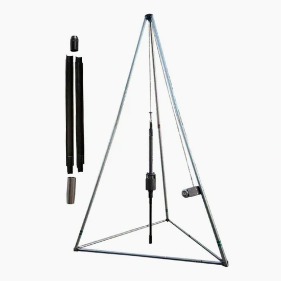
The rig itself tells you a lot about the job. In Saint-Hyacinthe we run a CME-75 automatic hammer on a truck-mounted setup when access is open—common in the new industrial parks along Route 235—and switch to a compact track-mounted unit for tighter lots in the older residential grid near the Yamaska River. The split-spoon sampler gets driven 18 inches into the glacial till or the Champlain Sea clay, and every blow count matters. We record N-values at 6-inch intervals, watching for the sudden drop that often signals a transition from stiff silty crust into softer sensitive clay beneath. On a 10-hectare agri-food plant expansion east of the city, we logged 14 boreholes in three days, reaching refusal in dense till at 22 meters and giving the structural team the numbers they needed for footing design under NBCC 2020. For deeper stratigraphy or pore pressure data, we often pair this with a CPT test to get continuous tip resistance and friction ratio profiles alongside the SPT samples.
In Saint-Hyacinthe's sensitive clay, two identical N=4 values often mean completely different things—one remolds instantly, the other doesn't—so field vane checks on every SPT sample are non-negotiable.
Local geotechnical context
We see the same pattern repeatedly in Saint-Hyacinthe: a contractor skips SPT drilling because the site 'looks flat and dry,' then hits a buried organic silt pocket at 5 meters and loses weeks on redesign. The Yamaska floodplain hides old meander scars filled with compressible peat and soft organic silt that blow N=1 or N=2. You won't detect those from surface inspection or a basic resistivity survey—only a sampler going through them tells the real story. Worse, sensitive Champlain clay loses up to 90% of its undisturbed strength when remolded, so a shallow excavation that saturates during spring thaw can trigger a retrogressive slide if the slope geometry wasn't checked against low N-values at depth. For sites near the river or within the mapped sensitive clay zone, we always push at least one borehole to 20 meters, because the critical weak layer sometimes sits below what a standard 10-meter investigation would reach.
Common questions
What depth do you typically drill SPT boreholes in Saint-Hyacinthe?
For single-family residential on the flat plain, 10 to 12 meters usually reaches competent till or provides enough data for a shallow footing design. Commercial and industrial structures, especially north of the Yamaska, often require 20 to 25 meters to characterize the full Champlain Sea deposit sequence and confirm refusal in glacial till. We assess depth case by case based on the NBCC 2020 seismic site classification requirements and the structural loads involved.
How much does an SPT investigation cost for a typical building lot in Saint-Hyacinthe?
A standard program with two boreholes to 12 meters, including all field logs, sample recovery, and a summary report with N-value profiles, runs between CA$640 and CA$960 per borehole depending on access conditions and whether we need track-mounted equipment. Laboratory classification testing is quoted separately based on the number of samples.
How long does it take to get results back from an SPT program?
Field drilling for a two-borehole program typically completes in one day. Laboratory testing on the recovered samples—grain size, Atterberg limits, and moisture content—adds five to seven business days. The final geotechnical report with bearing capacity recommendations and seismic site classification is usually delivered within ten working days of the field work.
Do you handle the drilling permit and locate requests for Saint-Hyacinthe sites?
Yes, we coordinate Info-Excavation locate requests for all public utilities before mobilization and handle any municipal right-of-way permits required for truck-mounted rigs on city streets. For private lots, the property owner is responsible for confirming private buried services; we can arrange private utility locating as an add-on if needed.